Sunday, June 14: Historical Hike at Three Sisters Preserve
 Sponsored by the Bethany Land Trust & the Bethany 250th Committee. Led by Will Brinton, the hike will highlight the connections between Bethany’s history
and the Three Sisters Preserve.
- Date: June 14, 2026
- Time: 10am-12pm
- Location: Three Sisters Preserve, 1154 Amity Rd
- Parking: Roadside along Rt 63, near the Naugatuck border-Carpool if you can!(Look for the green Land Trust banner. Park on the side of the road without a guardrail. Cross Amity Road to get to the trail. We will meet on the trail, near the bridge.)
All are welcome but please leave your pets at home. Inclement weather will cancel. Space is limited to 25 registered hikers-Register early!
TO REGISTER: Contact Bob Harrison via cell at 203-506-5888 or email Bob at bjh51box@gmail.com
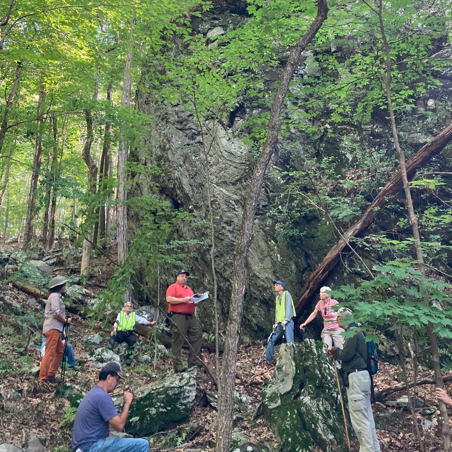
A couple of years ago Will Brinton lead a hike at the Three Sisters Preserve. Read on to learn what he discovered while researching the property…..
THE BRIDGE:
* The Straits named for the narrow pass between two cliffs along Beacon Hill Brook.
* Straitsville was a thriving village in the 19th century with homes, shops & factories.
* Part of Woodbridge 1784-1832 & Bethany 1832-1844 & then part of Naugatuck.
* Collins Hotel (1811) was a stagecoach tavern that stood on the site of Ion Bank.
* Early 1800s deeds mention “Beacon Hill Brook” but 1930s state highway maps label it “Cotton Hollow Brook.” This is likely due to the cotton factory downstream near the Naugatuck River later in the 19th Century. The name has returned to the original.
THE MILL SITE:
* Ruins of an extensive dam points to an early mill on this property. Deeds from 1790s & early 1800s mention a “Straits Grist Mill” along with a dwelling house and cooper’s shop. 1797 deed references lease of ¼ part of grist mill, with a 999-year term. 1799 deed includes mention of “three brothers” as one of the points.
* 1821 Jesse L. Hinman purchases 7 acres from the Joseph Porter estate with grist mill, water privileges to pond & dwelling for $745.
* Hinman purchases other parcels to assemble the full 20+ acres here today.
* 1824 Hinman mortgages the 20 acres for $1000. Deed mentions dwelling house, barn, Bark mill, currying shop, Beam house and other buildings.
THE TANNING PROCESS FOR LEATHER:
1. Animal hides are brought to the tannery.
2. Cured with salt to prevent decay.
3. Soaked and cleaned in Beam house.
4. Leather is limed, then delimed.
5. Trees, especially oak, are cut, bark removed & stored to dry in Bark house.
6. Bark is ground in a mill to produce powdered tannin.
7. Tanning or pickling; leather is soaked in tannin solution.
8. Currying; a currier dresses, finishes and colors tanned hides as the final step.
* 1824 Hinman and Woodbridge Selectmen sign an agreement, with 300-year term, to maintain bridge over Beacon Hill Brook. Deed mentions “Hinman’s Tan Works.”
* 1825 Hinman leases to Enoch & Harry French “dwelling house, barn, wood house, together with a tanning establishment consisting of water bark mill with water privileges, Beam house & 19 vats for tanning & all the tools now in use at tan works.”
THE HINMAN CELLAR HOLE:
* Late 1820s Hinman mortgages property 4 more times. Mentions “homestead where I now dwell,” indicating he still lives on the property.
* 1831 Jesse Hinman of Woodbridge sells to Archibald A. Perkins & Burton Sperry of Woodbridge. “A certain piece or land situated in said Woodbridge and containing about twenty-five acres be the same more or less, together with a dwelling house, wood house, barn, Bark house and mill, a currying shop, beam house vats be thereon; said land is bounded Northerly on Waterbury line East and Northeasterly on Isaac Hine land and old highway Southerly on Straits Turnpike Road & Westerly on Curtiss Hine and Rueben M Hine land.”
* 1837 Tax Grand List under Archibald Perkins is last mention of tannery
* 1845 sold to Guy & Wales Perkins with no reference to mill or tannery.
* 1852, 1856 & 1868 maps show no buildings in this area.
* 1849 sold to Elihu Benham. In Benham family, who lived nearby in Straitsville, for 50+ years until sold to Samuel Root in 1902.
* Purchased by John Benson in 1904, who then sold to Naugatuck Water Company in 1909. Deed mentions dam, pond, flowage, and riparian rights which indicates the water company’s interest in the land. It also references the right of James Doyle of Bethany to cut & remove within 12 months 25 marked trees, which is a clue to the use of the land as a woodlot after the mill was abandoned.
* Naugatuck Water merged with Connecticut Water in 1956, who then sold to the Bethany Land Trust in 2023.
THE THREE SISTERS:
* Prior to European settlement, Bethany was divided between the Paugusset and Quinnipiack tribes, along a north-south boundary that aligns with Pole Hill Road.
* The line continued into the colonial period as the border between the New Haven and Milford colonies. This division existed until the formation of Woodbridge in 1784.
* 17th century name for corner of Bethany, Naugatuck and Prospect was Rear Hill.
* Three Brothers sometimes called Three Sisters in records as early as 1662. 3 chestnuts grew from the same root & marked the common point between 3 towns. Trees likely died in the chestnut blight of 1910s, and one fell in each town.
* There are references in early records to assistance from Native Americans in surveying bounds, indicating that the site was likely a tribal boundary as well.
* North of this property was known as “College Farms” or “Yale Field.” This tract was granted to Yale College by town of New Haven in the 18th century. It is now a subdivision with road names such as Cambridge, Ivy, and Yale Farms.
* Prior to modern mapping technology, state law required the Selectmen from each town to meet periodically with their counterparts from adjoining towns to inspect and mark the town borders. The perambulation in this area was done several times in the 19th and early 20th centuries, with Bethany Selectmen meeting separately with representatives of Prospect and Naugatuck. In 1908 the 3 chestnuts are marked, but by 1918 it is noted they are dead. At the last perambulation in 1939, the records mention 3 chestnut logs on the ground, formerly known as the three brothers.
Back to Events